


 - Photo 21")
 - Photo 22")
 - Photo 23")
 - Photo 24")
 - Photo 25")

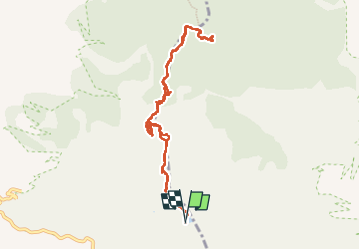
6.7 km | 9.5 km-effort

User


FREE GPS app for hiking
 SityTrail
IGN / Geographical institutes
SityTrail World
The world is yours!
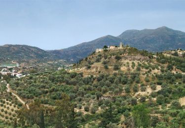
Trail Walking of 11.3 km to be discovered at Region of Crete, Heraklion Regional Unit, Municipality of Zaros. This trail is proposed by Bart2015.
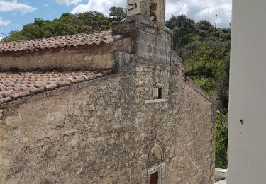
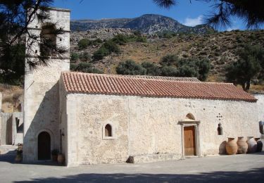
Au pied du Psiloritis, le lac de Votomos est gorgé de truites. La randonnée démarre à la taverne Limni qui le borde. Elle passe au travers des gorges de Rouwas où de nombreux aménagements en bois ont été nécessaires pour franchir certains passages. L'arrivée est dans une immense clairière idéale pour les pique-nique à proximité de la chapelle d'Agios Loannis.
Bonne rando ...
 - Photo 1")
 - Photo 2")
 - Photo 3")
 - Photo 4")
 - Photo 5")
 - Photo 6")
 - Photo 7")
 - Photo 8")
 - Photo 9")
 - Photo 10")
 - Photo 11")
 - Photo 12")
 - Photo 13")
 - Photo 14")
 - Photo 15")
 - Photo 16")
 - Photo 17")
 - Photo 18")
 - Photo 19")
 - Photo 20")
25 photos in total. Please click on a photo to see them all in the gallery.
Walking
On foot
On foot

Walking